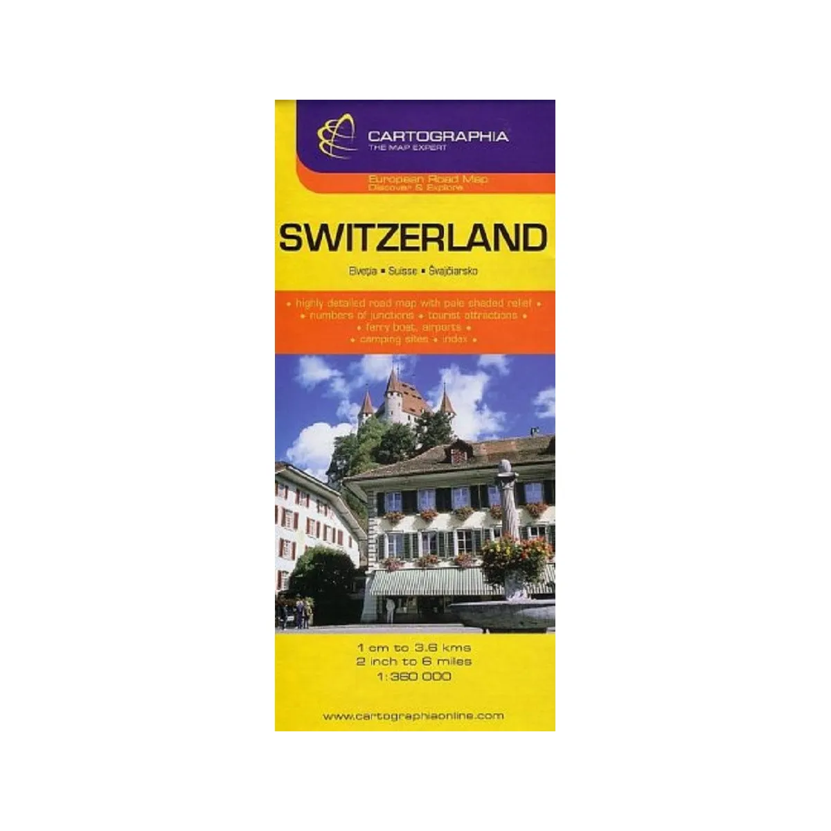
Folded road and travel map in color.
Scale 1:360,000.
Distinguishes roads ranging from motorways to secondary roads.
Legend includes motorwaynumbers, railways, funiculars, ferries, national boundaries with border crossings, restricted areas, National Parks/nature reserves, churches, monasteries, castles, ruins, UNESCO world heritage sites, camping sites, archaeological sites, golf courses, international/regional airports, populated areas.
Index of places listed on back of map.

 1
vizualizare in ultimele 24 ore